Barrigada
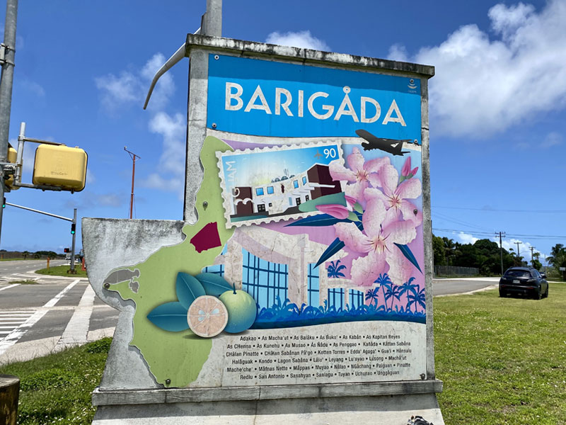
Barrigada is a northeastern village that was once a popular ranching area. It is part of the Kattan (Eastern) District. The village now is a heavily-populated residential area bordered by considerable commercial development along routes 8 (Purple Heart Memorial Highway), 10 (Vietnam Veterans Highway), and 16 (US Army Corps Drive). The recently returned former federally-designated land located in Tiyan (formerly the Naval Air Station, Guam) has become the site of some government of Guam offices, private businesses, and residential homes. . Upscale homes have been developed on Mt. Barrigada, along an area known as Barrigada Heights, overlooking the Philippine Sea. The name Barrigada comes from the CHamoru word meaning “flank” (the side of the stomach). It pertains to the ancient CHamoru creation story of Puntan and Fu’una, depicting how Guam was formed by the body of Fu’una.Sorry we are experiencing system issues. Please try again.